Description
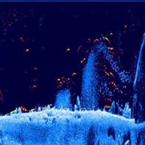
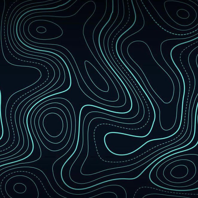
This course is designed to teach boaters how to maximize the use of their electronics. Includes creating custom topography charts, utilizing map cards, planning trips by tide table, and waypoint tips. Manipulation of multi unit systems for multi source and multi result data. System integration with other popular boating tools and accessories. Clients will also learn how to utilize mapping with trails which is a great tool for safe boating.
Course Duration: 2-2.5 hours